What is convection in meteorology and why it matters for your drone operations
Drones are a rather new type of aircraft with particular characteristics that are distinct from what we know in conventional aviation. For example, drones are much more sensitive to weather conditions than “normal” air traffic.
The impact of weather on drone flight operations
This section briefly highlights the impact weather conditions can have on drone flight operations and why it is important to have a good understanding of wind, fog, rain & icing to ensure safe flights.
How does wind affect drones?
All flying devices, including drones, are affected by wind. The type, size and weight of the drone has a major impact on how wind affects the drone in the air. Generally, a big and heavy drone is less affected by wind than a small one.
When hovering above the ground, the wind creates an airspeed for the drone equal to the wind strength. The drone must react to this and counter steer accordingly to stay in place, which affects the required motor power and battery charge consumption. In strong winds, the drone may not be able to maintain its position (1).
For commercial drones, the manufacturer specifies the wind conditions in which the drone can safely fly and the respective operating limits. To ensure safe flight operations, remote pilots must adhere to the manufacturer's limits to prevent the drone from drifting with the wind or running out of battery power before it arrives at the landing point.
Why are drones more affected by wind?
A jet-powered aircraft moves at a cruising speed of about 700 - 900 km/h. Drones move at 30-70 km/h, depending on the type. Assuming a headwind of 20 km/h, the drone with a flight speed of 70 km/h would travel reduced ground speed of 50 km/h and therefore needs 40% more time to cover the same distance.
In the case of the airplane, this is quite different: With a headwind of 20 km/h, an airplane needs only about 2.6 % longer than without wind, since the wind speed has comparatively little influence compared to the maximum speed of the airplane. The difference in magnitude highlights why drones are much more sensitive to wind conditions, and emphasizes that this wind sensitivity is rather new to commercial flight operations, as conventional aircraft are much less affected. The longer flight time also impacts energy, which is due to the lower energy density of a battery (compared to kerosene) generally a critical issue for electric-powered drones.
Can drones fly in fog and rain?
In addition to the wind conditions, fog and rain are also affecting flight safety. Most drones do not have an IP rating (a rating indicating how well electrical equipment is protected from external hazards such as dust and moisture), so drones are vulnerable to rain, fog, and snow (2). Moisture can seep into the drone airframe and damage control system components. Before flying in high humidity or rain, the level of protection specified by the drone manufacturer and the permissible conditions must be checked. Moisture damage could also occur in a later drone mission and be considered as a malfunction. The structure of the drone can also get wet. Unprotected wooden structures are particularly susceptible to moisture.
How does icing impact drones?
Another important weather parameter is icing, which is generally defined as weather conditions that can result in the development of water ice on an aircraft.
In-flight icing of drones is a serious hazard and they are more sensitive for icing than conventional aircraft due to the following reasons (3).
The size and the weight: Compared with large aircraft, drones accumulate ice faster and more ice per unit area. Additionally, the added mass of ice accumulation can quickly affect drones with strict weight restrictions negatively. Generally, under the same icing conditions, smaller airframes will accumulate more ice which can lead to the loss of aerodynamic capabilities.
The flight speed: With increasing speed, the aircraft generates more friction with the air. This friction produces heat on the aircraft's wings or propellers, which reduces ice formation. Therefore, high airspeeds can counteract icing to some degree and faster aircraft are affected less by icing than slower aircraft such as drones when flying in the same conditions.
What is convection in general?
Convection could be also called convective circulation. It is the process of transferring thermal energy from one place to another and describes the movement within a fluid (liquid or a gas) driven by temperature differences. Convection is therefore always linked to the transport of particles (4).
How do convection currents form?
When a liquid or gas (fluid) is heated from below, the molecules at the bottom start to move stronger. As a result, they take up more space, which is why the density of the fluid decreases at this point. Due to the lower density, the fluid becomes lighter and rises. While rising to higher altitudes, it releases its energy and becomes cooler. The movement of the molecules is thus reduced and the density of the fluid increases again. The fluid therefore sinks back to the bottom: A convection current is created.
We are familiar with this process of heating our homes. The air is heated at the radiator, expands, and rises. On the other side of the room, the air starts cooling down, contracts again, sinks, and flows back to the radiator, where the process starts again.

Source: Unisphere
To sum up, convection results when a liquid or a gas is heating more than their surroundings (5). This is creating differences in the temperature. Thus the hotter areas rise and the cooler areas sink. As a result, the temperature circulation is supported and strong temperature differences are reduced.
What are convective clouds?
So far we have examined convection from a physical perspective. However, convection also plays a considerable role in meteorology and thus also in aviation.
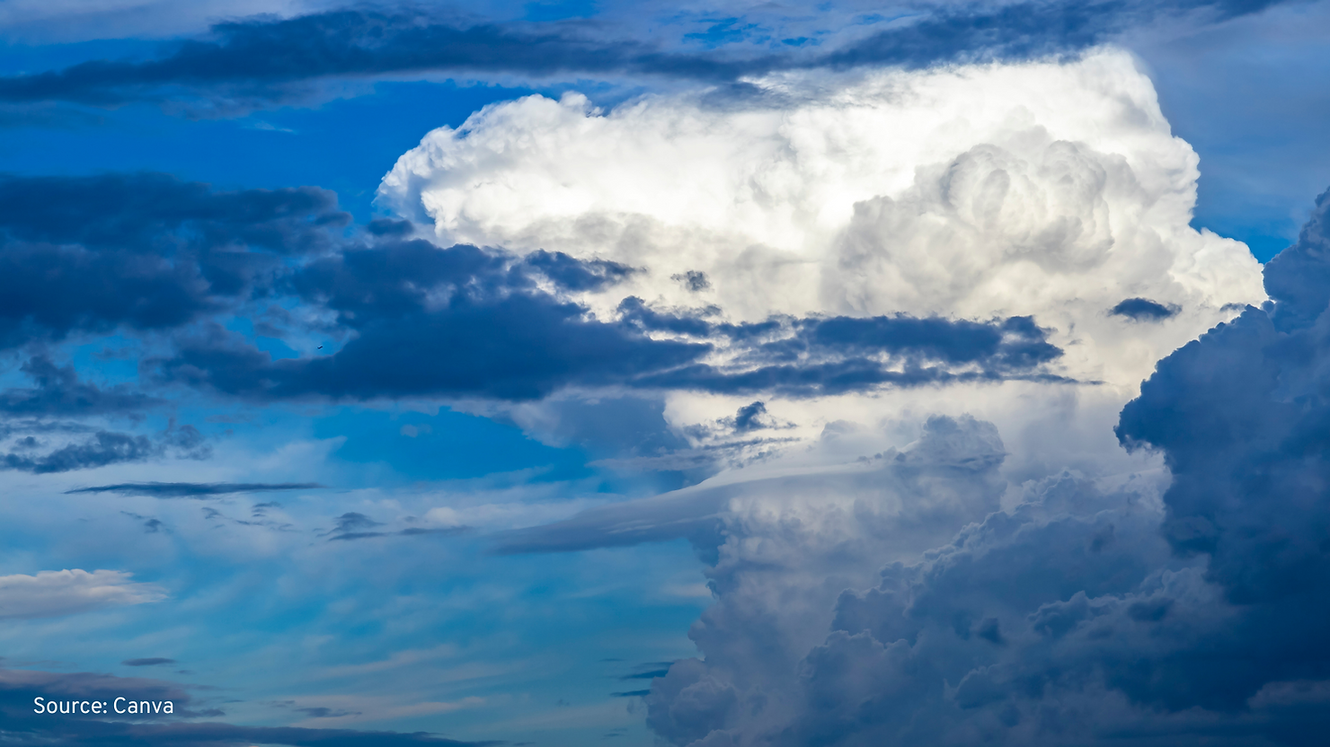
Convective clouds are clouds that are formed by convection. They are formed by rapid vertical uplift of moist and warm air caused by forced vertical flow, for instance by mountains or cold fronts. The cooling of this air with increasing height then leads to the formation of optically thick and high clouds (6). The best example is the cumulonimbus cloud - the further development of a large cumulus cloud.

Why do you need to consider convection for mission planning?
Convective storms are severe storms that form from convective clouds. They can lead to heavy thunderstorms and heavy precipitation often associated with hail, which explains their great importance in severe weather warning. They can form and grow very quickly, but also disappear again rapidly. Due to their potential danger, they must be taken into account in flight planning.
How is convection handled in aviation?
There are convection zones where the probability of the development of a thunderstorm is greater. This occurs frequently in the tropics along the equator. The reason is a mixture of many factors, the main being the air condition that is both very warm and humid (7). As the day progresses, it gets hotter, and hot air rises. Higher up in the atmosphere, it slowly cools down. Thus, steam condenses into cloud droplets and, as a result, ice particles and convective storms form. These storms often produce rain and strong wind. Once the wind hits the ground at high speed, it spreads in all directions and can blow on for considerable distances. This is why we sometimes experience strong wind before a thunderstorm.
Due to the severe impact, convective activities can have on a flight, the so-called SIGMET (Significant Meteorological Information) is part of the pilot briefing and flight planning process informing the pilots about severe weather conditions. An example can be seen in the following picture, demonstrating the areas where adverse weather conditions occur (8).

SIGMETs are distributed in English and numbered continuously for each day, starting at 00:01 UTC. The validity period is usually four hours. Since drones are more sensitive to strong wind, rainfall and thunderstorms, the importance of convective activities is even higher than in conventional aviation.
How do we use this knowledge at Unisphere?
However, the information contained in a SIGMET also plays a significant role in the flight operations of drones. In order to adapt them to the special needs of drones, the information on convective activity must be presented on a geographically smaller scale, since the large-scale information in SIGMETs today is less suited for drone flights. In addition, it is necessary to understand how convection currents will develop over the next hours in order to consider the information in the planning of daily drone flight operations.
In our new solution – NOVA Operations Platform – we have therefore implemented a convective map layer function that displays convective activities in an area, highlighting the respective intensities and covering the next 48 hours in a dynamic overview. Since we are deeply convinced that a better understanding of convective activity for drone flight planning will increase overall flight safety, you can test our solution for 30 days for free. So don't hesitate and improve your flight safety with the AWARE Convective Layer.


